Dual Waterspouts Emerge in San Francisco Bay Amid Severe Weather
· GlobeWire Daily Climate Desk · Source: www.theguardian.com
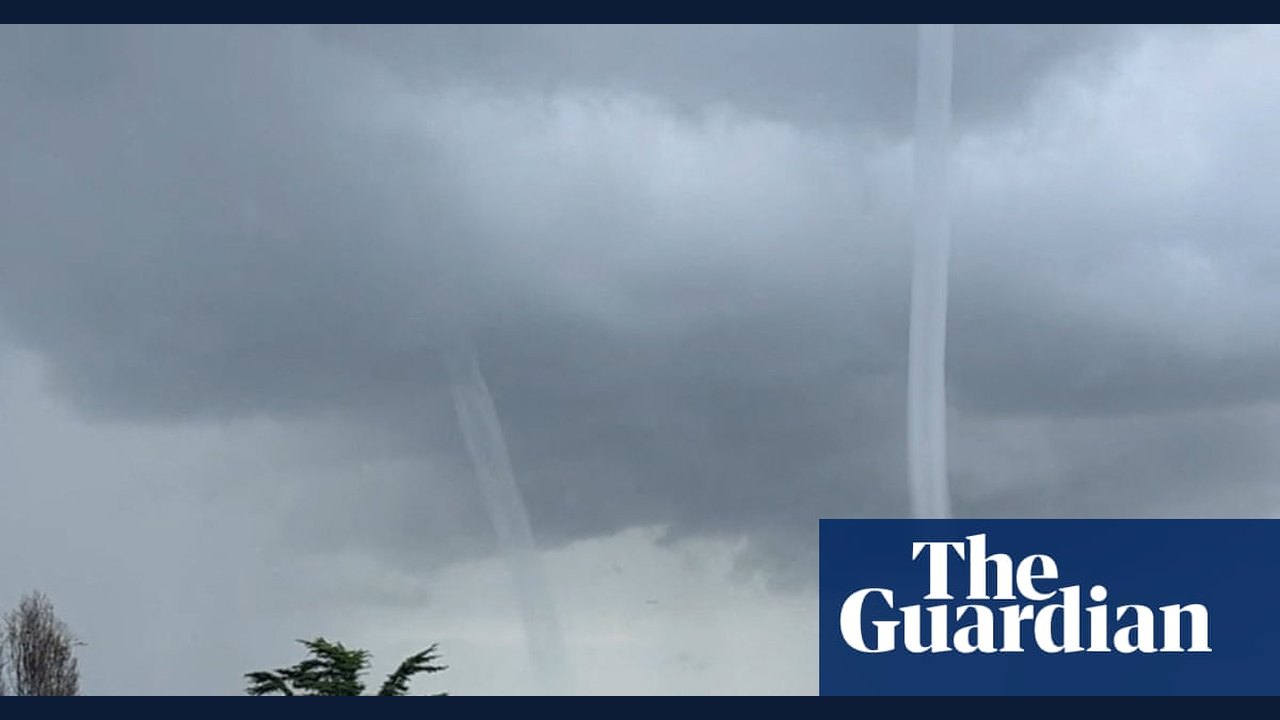
Image: the Guardian · Photo source · Resized and letterboxed to 16:9; no AI generation
A rare pair of waterspouts was recorded over the San Francisco Bay as storms impacted the region, prompting weather warnings from authorities. Social media footage captured the two vortexes of air and water mist spiraling above the bay.
Waterspouts are essentially tornadoes formed over water. While they are prevalent in areas like the Great Lakes and the southeast coast of Florida, sightings in the San Francisco Bay area are uncommon, according to federal storm data.
The National Weather Service (NWS) confirmed the occurrence in a Monday special marine warning. The agency distinguishes between weak "fair weather" waterspouts and tornadic waterspouts, which can pose risks to boaters and coastal communities if they move ashore.
Forecast and Continuing Risks
- Rainfall: The NWS forecast predicts continued rain across the Bay area, with potential thunderstorms expected on Wednesday and Thursday.
- Coastal Flooding: Elevated tide levels raise the risk of coastal flooding through at least Thursday.
- Strong Winds: Powerful winds are forecasted, with gusts in the East Bay Hills expected to reach up to 70 mph (112 km/h).
- Outlook: Showers may subside after Thursday evening, though some rain could linger over the Pacific and adjacent inland communities.
Practical Implications and Verification
Residents and mariners in the affected areas should monitor official updates from the National Weather Service for real-time alerts. Weather conditions can change rapidly, and verification of active warnings is best conducted by visiting the official NWS website or tuning into authorized emergency weather broadcasts.
AI-assisted reporting; source claims are attributed and have not been independently verified.
More to read
 Community and Social Services Job Openings Reported in San Francisco Bay Area
 Overview of Military and Protective Services Opportunities in the San Francisco Bay Area
 San Francisco Bay Area Media and Communications Job Listings Highlight Tech and Corporate Sector Demand
 Recent Administrative Assistant Job Listings Highlight Opportunities Across the San Francisco Bay Area