Martine Perret Captures Western Australia's Midwest Landscapes in New Aerial Photography
· GlobeWire Daily Travel Desk · Source: www.theguardian.com
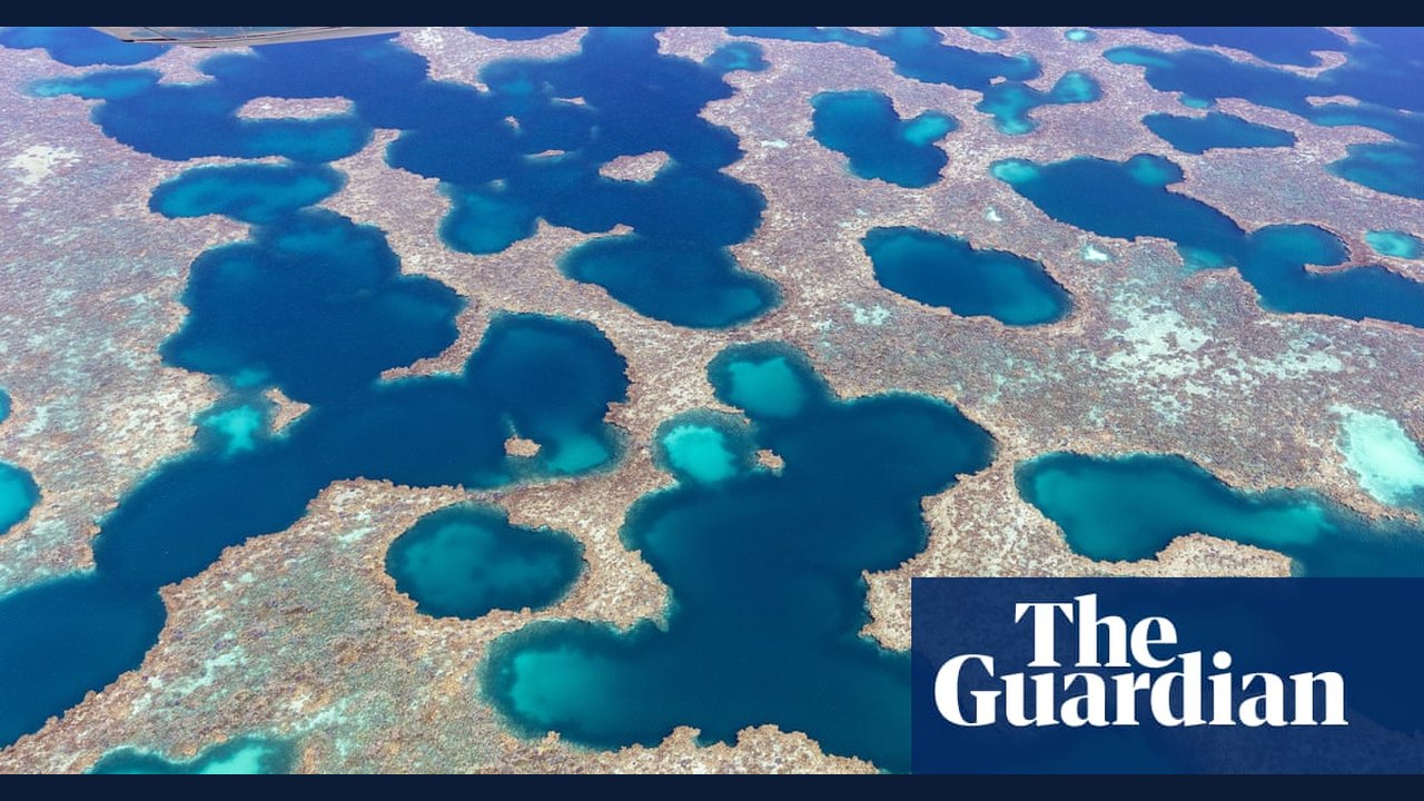
Image: the Guardian · Photo source · Resized and letterboxed to 16:9; no AI generation
Photographer Martine Perret has released a new series of aerial photographs showcasing the stark landscapes of Western Australia's midwest, including ancient riverbeds, expansive salt flats, and coastal ecosystems. According to published reports, the collection highlights natural formations shaped over millennia across regions such as the Gascoyne, Wheatbelt, and Abrolhos Islands.
Exploring Ancient Ecosystems
The newly featured images offer an expansive perspective of Western Australia's remote terrain. Key elements captured in the series include:
- Ancient river networks illustrating thousands of years of geological carving
- Large salt flats displaying vivid natural color variations
- Diverse marine and coastal environments spanning the Abrolhos Islands and surrounding waters
Context and Ongoing Work
Perret's latest collection forms part of an ongoing photographic documentation project spanning the past five years. The project aims to record sweeping regional vistas and remote topography from a high-altitude perspective.
Practical Implications and Verification
Art enthusiasts and researchers interested in geographic photography can review the published gallery through major cultural arts platforms and the photographer's official portfolio. Viewers seeking to verify specific geographic formations or exhibition dates should consult primary announcements from exhibiting galleries or cultural institutions.
AI-assisted reporting; source claims are attributed and have not been independently verified.
More to read
 Hitchhiking Across Australia: A Journey of Unexpected Connections
 Tracing Narnia: How the Landscapes of Northern Ireland Shaped CS Lewis’s Fantasy Realm
 NASA's Curiosity Mars Rover Captures Drifting Twilight Clouds
 Hyundai Sonata Discontinued in Australia as Focus Shifts to New i30 Sedan