ISRO Launches NVS-03 Satellite to Boost India's NavIC Navigation Capabilities
· GlobeWire Daily Editorial Desk · Source: www.amarujala.com
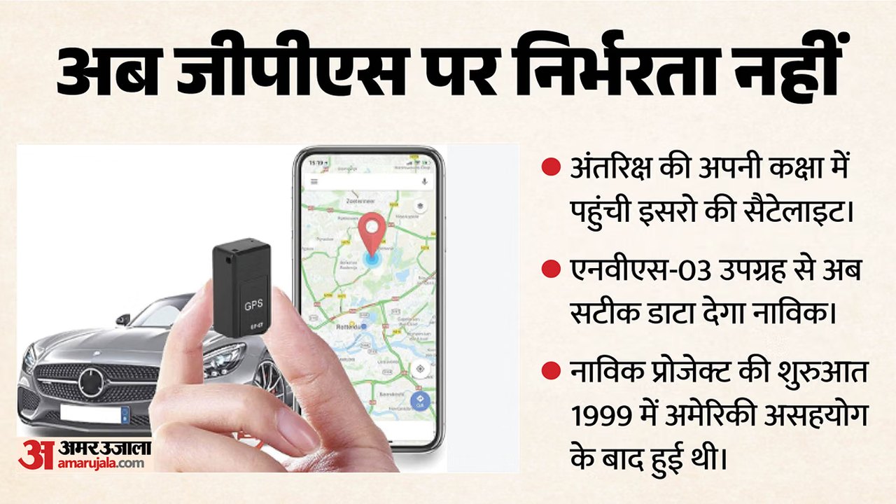
Image: Amar Ujala · Source image rights not independently verified · Photo source · Cropped to 16:9; original source image
India Enhances Independent Navigation
The Indian Space Research Organisation (ISRO) successfully placed the NVS-03 satellite into its designated orbit using the GSLV-F18 rocket, according to a recent report by Amar Ujala published on November 1, 2026. This launch marks the deployment of the third satellite in the next generation of India's indigenous satellite navigation system, known as NavIC (Navigation with Indian Constellation).
According to the published report, independent navigation systems require live signals from at least four satellites to accurately determine position and time. With some clocks on older NavIC satellites previously malfunctioning, operational capacity had been affected. The successful deployment of NVS-03 restores the constellation to four fully active satellites in space, enabling independent data provision without foreign assistance.
Technical Upgrades and Strategic Implications
- Indigenous Atomic Clock: The NVS-03 satellite is equipped with a domestically manufactured 'Rubidium atomic clock' designed to provide time accuracy down to the nanosecond level for precise location tracking.
- Reduced Foreign Dependency: The report states that India will no longer need to rely entirely on the American GPS or the Russian GLONASS global navigation satellite systems.
- Defense Operations: Reported claims indicate that the NavIC system is intended to support military operations, including missile guidance, fighter jet navigation, and the coordination of military drones during conflict scenarios.
Background and Verification
The report notes that the conceptual origins of the NavIC project trace back to the aftermath of the 1999 Kargil conflict, following restrictions on foreign GPS data access at the time.
Readers and analysts seeking to verify the technical details of the launch and the operational status of the NVS-03 satellite can consult official press releases and mission updates published directly by ISRO on their official web portals.
AI-assisted reporting; source claims are attributed and have not been independently verified.
More to read
 Sudanese Artists Fight to Preserve Cultural Heritage Amid Ongoing Conflict
 West Indies Secure Eight-Wicket Victory Over Bangladesh in First Test
 Reported Directives Issued to Iranian Military Outlining Expanded Regional Posture
 Thousands Rally in Manipur Demanding Agreement Cancellation and Protection
Trending on GlobeWire Daily
Selected from recent coverage and related topics; not live search rankings.
 Ray Parlour Backs Arsenal Teenager Max Dowman After Carabao Cup Red Card
 Pressure Mounts on Aberdeen Manager Stephen Robinson After Falkirk Defeat
 Callum McGregor Backs Jota and Kasper Hogh After Dundee United Draw
 Izzy Christiansen Praises Everton After Carabao Cup Victory Over Newcastle
 Everton Manager David Moyes Praises Squad Mentality After Carabao Cup Win
 Sunderland Face Premier League Relegation Battle Amid European Campaign