Copernicus Sentinel-2 Captures Namibia's Etosha Pan from Space
· GlobeWire Daily Editorial Desk · Source: www.esa.int

Original GlobeWire Daily editorial illustration — not an event photograph.
A false-colour satellite image acquired by the Copernicus Sentinel-2 mission on 5 April 2026 offers a detailed view of the Etosha National Park and its prominent salt flat in northern Namibia. According to data published by the European Space Agency, the imagery highlights the landscape's diverse geographical features through near-infrared capabilities.
Geographical Features and Etosha Pan
The central feature of the imagery is the Etosha Pan, a massive salt flat spanning approximately 130 km from east to west with a total area of 4,760 sq km. While the pan appears bright white to human eyes, the Sentinel-2 false-colour image displays various tones:
- Salt Expanses: Bright white regions representing salt deposits.
- Water Sediments: Light blue areas indicating water with cloudy sediment.
- Clear Water: Dark blue shades where water appears clearer.
The image was captured at the beginning of the dry season, a period when average daily temperatures in the region typically range from 14°C to 30°C. Water remains present in smaller salt pans located northwest of the main pan, including the Natukanaoka Pan, appearing in shades of green and blue.
Hydrology and Wildlife Habitats
The Ekuma River is visible near the centre of the image, flowing southward from Lake Oponono—situated at an elevation of about 1,200 m above sea level—down to the salt flat at 1,030 m. Lake Oponono maintains water between wet seasons and supports flamingos and cattle.
Surrounding vegetation is displayed in striking red hues due to Sentinel-2's near-infrared channel:
- Mopane Woodlands: Dominant in eastern and central areas, showing as dark vibrant red and providing habitat for elephants, giraffes, and leopards.
- Savannahs: Located in the western and southern areas, home to wildebeest, lions, and springbok.
- Algae and Grasses: Patches of red on the salt pan indicate the presence of blue-green algae and salt-tolerant grasses adapted to the salty clay terrain.
Technology and Verification
Sentinel-2 carries a multispectral imager detecting 13 spectral bands, enabling the capture of near-infrared and short-wave infrared light beyond human visual capability. Healthy plants reflect higher levels of near-infrared light, directly correlating vibrant red areas with dense vegetation. The published data includes modified Copernicus Sentinel data from 2026, processed by ESA and made available under CC BY-SA 3.0 IGO or ESA Standard Licences. Readers can verify the original announcement and explore full-resolution imagery directly through the European Space Agency multimedia portal.
AI-assisted reporting; source claims are attributed and have not been independently verified.
More to read
 Copernicus Sentinel-3 Captures West Antarctica Sea Ice Extent
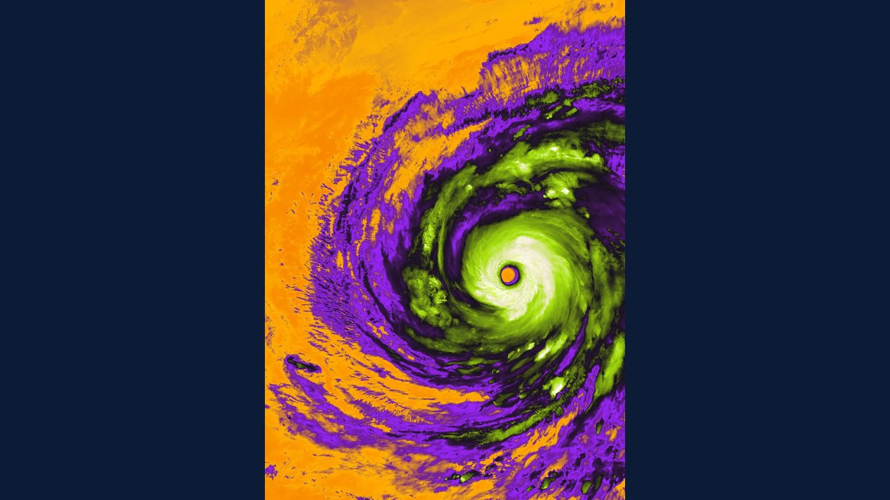 Copernicus Sentinel-3 Captures Eerie Eye of Super Typhoon Champi
 NASA's Hubble Space Telescope Captures Detailed View of the Cat's Head Nebula
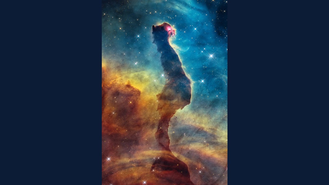 Hubble Space Telescope Captures Visible-Light View of the Cat’s Head Nebula
Trending on GlobeWire Daily
Selected from recent coverage and related topics; not live search rankings.
 Madhya Pradesh Government Plans Revenue Generation from 117-Year-Old Edward Villa in Mumbai Through Leasing
 iPhone 18 Pro Named TechRadar Product of the Year 2026
 Google Project Suncatcher Runs Gemma 4 AI on Orbiting Satellite and Receives First Response
 Gender Disparities in Eye Care Access Across India Examined
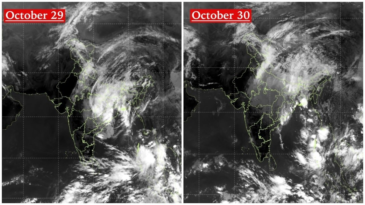 Satellite Images Show Cyclone Arnab Weakening Over India As New System Brews
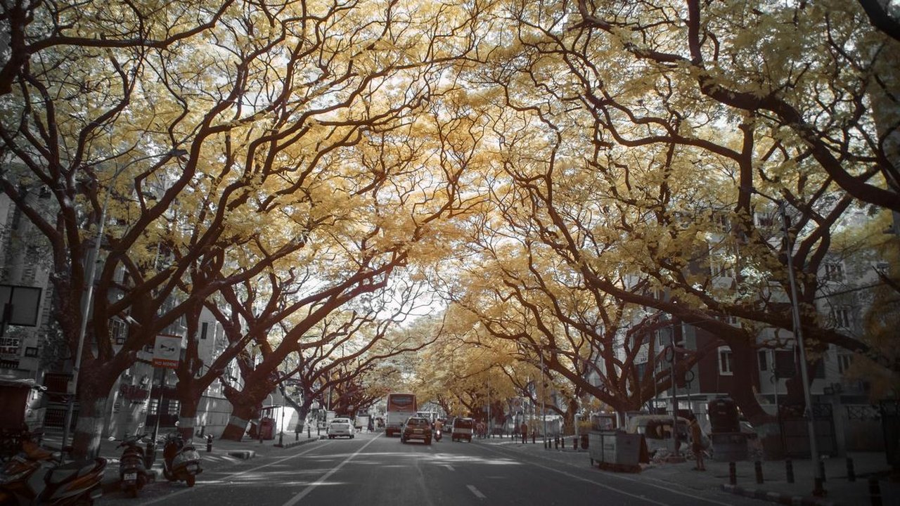 Expanding Green and Blue Spaces Crucial for India's Economic and Public Health, Reports Indicate