GAIA-M Project Aims to Transform Forestry Carbon Monitoring with Geospatial AI
· GlobeWire Daily Editorial Desk · Source: business.esa.int

Image: business.esa.int · Photo source · Resized and letterboxed to 16:9; no AI generation
Treeconomy's GAIA-M (Geospatial AI for Afforestation Monitoring) project seeks to improve how forestry asset developers measure and verify carbon storage on large project sites. Traditionally, forest carbon estimation relies on manual tape-measure plot surveys and spreadsheet projections, which can be slow and uncertain on areas of 10,000 hectares and above.
Combining Satellites, Drones and Field Data
GAIA-M combines regular satellite imagery from sources like the Copernicus Sentinel missions with drone LiDAR and field measurements. An artificial intelligence model uses this combined data to map above-ground biomass and provide an explicit estimate of uncertainty for each project site.
Key targets for the project include:
- Monitoring costs over 60% lower than manual surveys
- Variance of less than 10% against ground-truth measurements on 95% of test plots
- Audit-ready reports delivered within five working days for a 10,000-hectare project
Pilot Users and Validation
The project involves pilot users and partners who provide site access, ground-truth data, and feedback. Participants include Great Yellow in the United Kingdom and Wilderway in the Netherlands, alongside natural capital asset manager Gresham House.
System Operation and Verification
Users access the system through Treeconomy’s Sherwood web platform. When an order is placed, an automated processing chain on Google Cloud runs the model and generates maps, statistics, and reports. Every processing run records the data and model versions used to ensure traceability for independent verifiers and carbon standards bodies.
The project started on 21 September 2026. Initial work has covered code audits, user interviews, and business planning, with data collection scheduled for four UK sites totaling approximately 1,600 hectares.
AI-assisted reporting; source claims are attributed and have not been independently verified.
More to read
 Anti-Slop Open-Source Project Aims to Filter Generic AI Coding Outputs
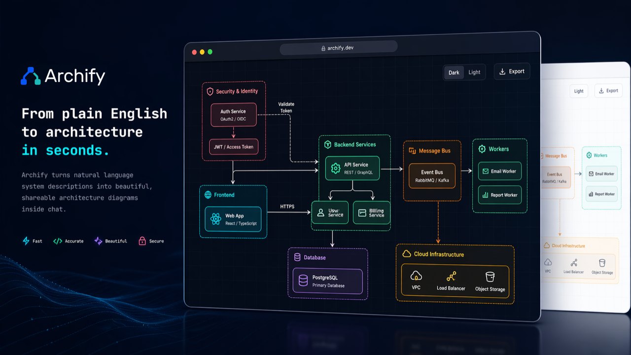 Open-Source Archify Project Aims to Turn Ideas and Codebases Into Interactive Diagrams via AI Agents
 Everything Project Aims to Replace Proprietary Software with Open-Source Alternatives
 Google Project Suncatcher Runs Gemma 4 AI on Orbiting Satellite and Receives First Response
Trending on GlobeWire Daily
Selected from recent coverage and related topics; not live search rankings.
 Madhya Pradesh Government Plans Revenue Generation from 117-Year-Old Edward Villa in Mumbai Through Leasing
 iPhone 18 Pro Named TechRadar Product of the Year 2026Google Project Suncatcher Runs Gemma 4 AI on Orbiting Satellite and Receives First Response
 Gender Disparities in Eye Care Access Across India Examined
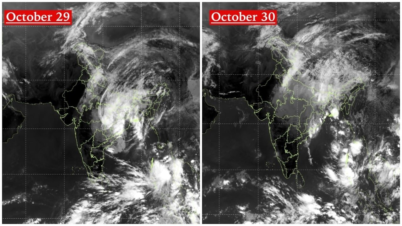 Satellite Images Show Cyclone Arnab Weakening Over India As New System Brews
 Expanding Green and Blue Spaces Crucial for India's Economic and Public Health, Reports Indicate