Google Uses AI and Satellite Imagery to Support Proactive Public Health and Disease Forecasting
· GlobeWire Daily Editorial Desk · Source: blog.google

Image: Google · Photo source · Resized and letterboxed to 16:9; no AI generation
Google is combining local health data with advanced geospatial models, satellite imagery, and artificial intelligence to help public health officials predict and prevent disease outbreaks. According to Google, these tools aim to help leaders overcome reporting lags, forecast health trends, and deliver care to vulnerable communities faster than traditional manual methods.
Research Prototypes and Emergency Applications
Google has provided select partners with access to two research prototypes:
- Geospatial Reasoning Agent: A conversational spatial mapping tool designed to help public health teams process data through plain-language conversations.
- Planetary Prediction Engine: A tool for autonomous disease forecasting.
During evaluations in the ongoing Ebola outbreak in the Democratic Republic of Congo (DRC) alongside partners at the World Health Organization's Regional Office for Africa (WHO AFRO) Emergency Preparedness and Response Hub in Dakar and the DRC's National Institute of Biomedical Research (INRB), these prototypes were put to work:
- Mapping Remote Corridors: The WHO AFRO team used the Geospatial Reasoning agent to map remote mining corridors. The tool reportedly helped pinpoint 48 exposed settlements and located more than 45,500 at-risk people in minutes, a process noted as normally taking weeks, enabling proactive deployment of mobile laboratories and border surveillance.
- Simulating Outbreak Trajectories: Working with UMIE, predictive models estimated the risk of Ebola spread into uninfected zones by combining mobility flows, historical case trends, and Earth AI models to give coordinators planning time.
Foundation Models and Partner Studies
Google’s approach pairs environmental signals, satellite imagery, and mobility data with foundation models, including AlphaEarth Foundations and the Population Dynamics Foundation Model (PDFM). Several academic and medical institutions have tested these integrations:
- Cardiovascular Mortality: Researchers at NYU Langone Health integrated real-time population signals into chronic disease models to project same-year cardiovascular mortality.
- Cross-Border Immunization: Researchers at Mount Sinai Health System and Boston Children’s Hospital incorporated human behavioral patterns along the U.S.-Canada border to view vaccination rates in U.S. counties.
- Seasonal Surges (Dengue): Researchers at the University of Oxford and Tecnológico de Monterrey combined PDFM with localized climate models to forecast dengue fever outbreaks across Mexico.
- Waterborne Disease (Cholera): In DRC evaluations with WHO AFRO, combining epidemiological records with PDFM improved the predictability of identifying outbreak-prone health zones up to eight weeks in advance.
Access and Verification
Google states that PDFM embeddings are commercially available in Preview as Population Dynamics Insights through the Google Maps Platform, with researchers able to request no-cost access for select use cases. Eligible organizations can also apply for Google Earth credits through GMP Public Programs. Google.org has additionally provided funding to INRB to help modernize local testing and disease surveillance. Original announcements and access details can be verified directly through Google's official blog and Google Maps Platform documentation.
AI-assisted reporting; source claims are attributed and have not been independently verified.
More to read
 Google Project Suncatcher Runs Gemma 4 AI on Orbiting Satellite and Receives First Response
 Google's Project Suncatcher Satellite Generates First AI Response from Space
 Google Reports AI Tools Accelerate Medical Research and Health Outcomes
 Expanding Green and Blue Spaces Crucial for India's Economic and Public Health, Reports Indicate
Trending on GlobeWire Daily
Selected from recent coverage and related topics; not live search rankings.
 Madhya Pradesh Government Plans Revenue Generation from 117-Year-Old Edward Villa in Mumbai Through Leasing
 iPhone 18 Pro Named TechRadar Product of the Year 2026Google Project Suncatcher Runs Gemma 4 AI on Orbiting Satellite and Receives First Response
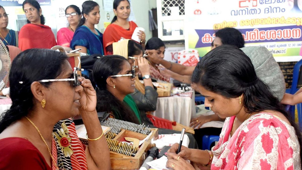 Gender Disparities in Eye Care Access Across India Examined
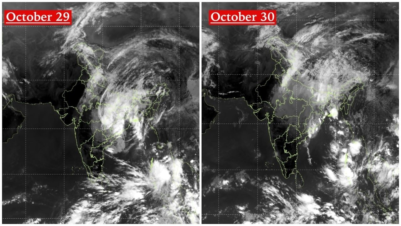 Satellite Images Show Cyclone Arnab Weakening Over India As New System BrewsExpanding Green and Blue Spaces Crucial for India's Economic and Public Health, Reports Indicate