NASA Develops CASALS Instrument to Bridge Gaps in 3D Earth Surface Mapping
· GlobeWire Daily Editorial Desk · Source: science.nasa.gov

Image: NASA Science · Photo source · Resized and letterboxed to 16:9; no AI generation
NASA researchers have developed an instrument called the Concurrent Artificially-intelligent Spectrometry Lidar System (CASALS), designed to eliminate blind spots in space-based lidar measurements of Earth's forests and terrain.
Traditionally, spaceborne laser instruments measure the Earth in narrow, isolated lines, leaving large unmapped gaps between them. Developed by a team at NASA’s Goddard Space Flight Center (GSFC) with support from NASA’s Earth Science Technology Office (ESTO), CASALS aims to overcome this limitation by combining machine learning with an ultra-compact lidar instrument to sweep large swaths of the surface.
Technological Innovation
Instead of using heavy, failure-prone motorized mirrors to mechanically steer a laser, CASALS steers light using wavelength. It utilizes a fast-pulsing, tunable seed laser centered at 1040 nanometers that cycles through 256 unique wavelengths. These pulses pass through an optical component with a microscopic ridge pattern known as a transmission grating. Through diffraction, the grating naturally steers each pulse into a distinct position across the flight path, creating a continuous three-dimensional swath without moving parts.
Additionally, CASALS features a detector array with an 80% Quantum Efficiency (QE), allowing it to convert incoming photons into electrical signals efficiently. This high QE enables the instrument to detect weaker return signals from darker surfaces or dense vegetation.
Airborne Testing and Future Plans
In November 2024, an airborne prototype of CASALS flew aboard NASA’s B200 King Air aircraft at an altitude of roughly five kilometers, producing science-quality datasets that exceeded team expectations. According to project lead and physical research scientist John Yorks, the instrument successfully distinguished individual tree branches and fine ground elevation changes with a 22-centimeter horizontal resolution.
The team is scheduled to fly CASALS again during the Airborne Surface, Cryosphere, Ecosystem, and Nearshore Topography (ASCENT) campaign in summer 2027. Before adapting the technology for a potential future space mission, researchers plan to widen the instrument's swath and integrate onboard data processing software.
Practical Implications and Verification
- Improved Mapping: If successfully matured into a spaceborne mission, CASALS could provide continuous 3D topographic renderings instead of isolated linear profiles.
- Reduced Complexity: Removing moving parts lowers the size, weight, and power (SWaP) requirements, enhancing reliability for space environments.
- Verification: Interested readers can review additional project details and technical documentation through the NASA TechPort entry for CASALS, or consult official reports from NASA’s Goddard Space Flight Center and sponsoring programs including the Instrument Incubation Program (IIP).
*Note: Original media and images from the source require verified rights before reuse.*
AI-assisted reporting; source claims are attributed and have not been independently verified.
More to read
 NASA-Funded Study Details Teghaza 001, One of the Oldest Martian Meteorites Found on Earth
 NASA Outlines CRAVE Surface Radiation Measurement and Satellite Validation Effort
 NASA Science Community Invited to Contribute to M2M Technology Gaps at AMMB STIG Seminar
 NASA’s APOD Highlights Earth’s ‘Spooky’ Aurora Over Iceland’s Hverir Geothermal Field
Trending on GlobeWire Daily
Selected from recent coverage and related topics; not live search rankings.
 Madhya Pradesh Government Plans Revenue Generation from 117-Year-Old Edward Villa in Mumbai Through Leasing
 iPhone 18 Pro Named TechRadar Product of the Year 2026
 Google Project Suncatcher Runs Gemma 4 AI on Orbiting Satellite and Receives First Response
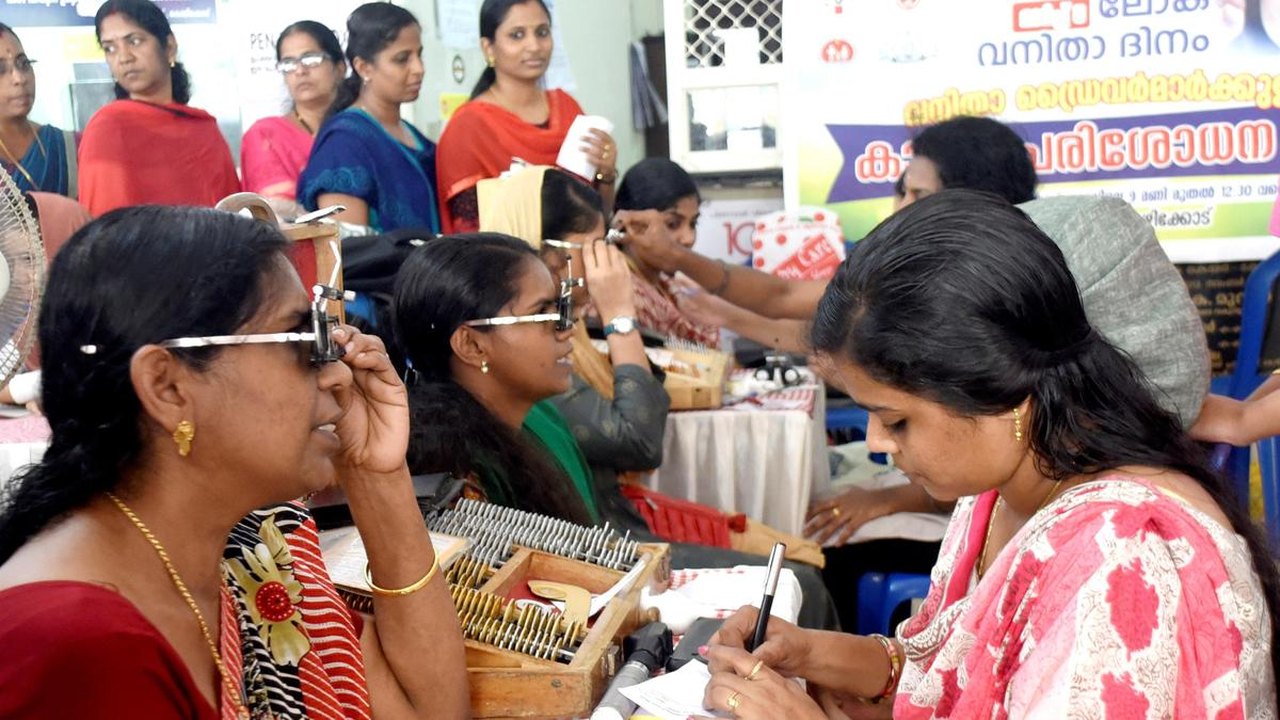 Gender Disparities in Eye Care Access Across India Examined
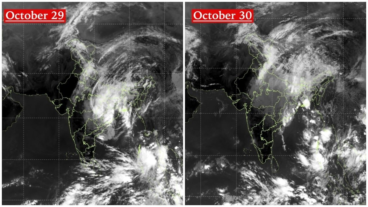 Satellite Images Show Cyclone Arnab Weakening Over India As New System Brews
 Expanding Green and Blue Spaces Crucial for India's Economic and Public Health, Reports Indicate