Chiricahua Becomes America's Newest National Park Following Historic Volcanic Origins
· GlobeWire Daily Editorial Desk · Source: science.nasa.gov
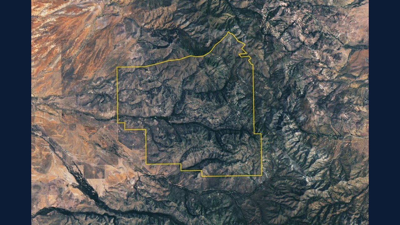
Image: NASA Science · Photo source · Resized and letterboxed to 16:9; no AI generation
Chiricahua, located in southeastern Arizona on the traditional lands of the Chiricahua Apache Nation, has been officially redesignated as America's newest national park. Originally established as a national monument in 1924, the area transitioned to national park status in October 2026 to preserve its remarkable geological formations shaped millions of years ago by massive volcanic activity.
According to geological records and reports, a powerful volcanic eruption occurred approximately 27 million years ago, releasing vast amounts of volcanic material and forming the Turkey Creek caldera. Over millennia, erosion and weathering sculpted the hardened welded rhyolitic tuff into dramatic spires, hoodoos, and canyons, inspiring the Apache name "The Land of the Standing-Up Rocks."
Geological and Ecological Significance
- Volcanic History: Eruptions blanketed the region with ash and pumice, creating deposits nearly 1,600 feet thick in certain areas.
- Unique Rock Formations: Visitors can observe pinnacles, balanced boulders like Big Balanced Rock, and towering groups at Massai Point.
- Biodiversity Haven: The park sits among Arizona's "sky islands," where four biogeographic regions converge, supporting approximately 1,000 plant species across varied desert, grassland, and forest ecosystems.
Satellite Observation and Verification
The Operational Land Imager (OLI) on Landsat 9 captured a cloud-free image of the newly designated national park on July 2, 2026. While individual rock spires remain too small to distinguish from orbit, the eroding rhyolitic tuff landscape appears gray alongside tree-lined stream valleys such as Rhyolite Canyon and Bonita Canyon.
Readers can verify official announcements and learn more about the region by consulting resources from the National Park Service, NASA Earth Observatory, and the U.S. Department of the Interior.
AI-assisted reporting; source claims are attributed and have not been independently verified.
More to read
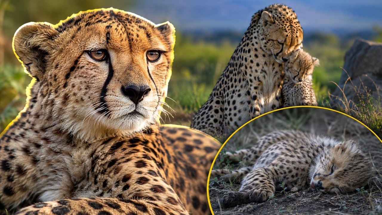 Kuno National Park: Forest Officials Suspended and Two Arrested Following Cheetah Cub Death
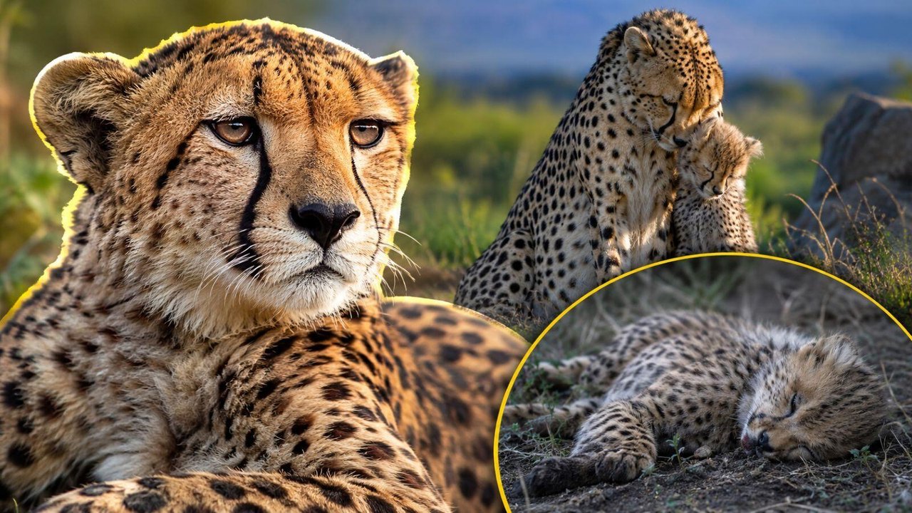 Kuno National Park Faces Concern After 19-Month-Old Cheetah Cub Death Linked to Female Cheetah Nirva
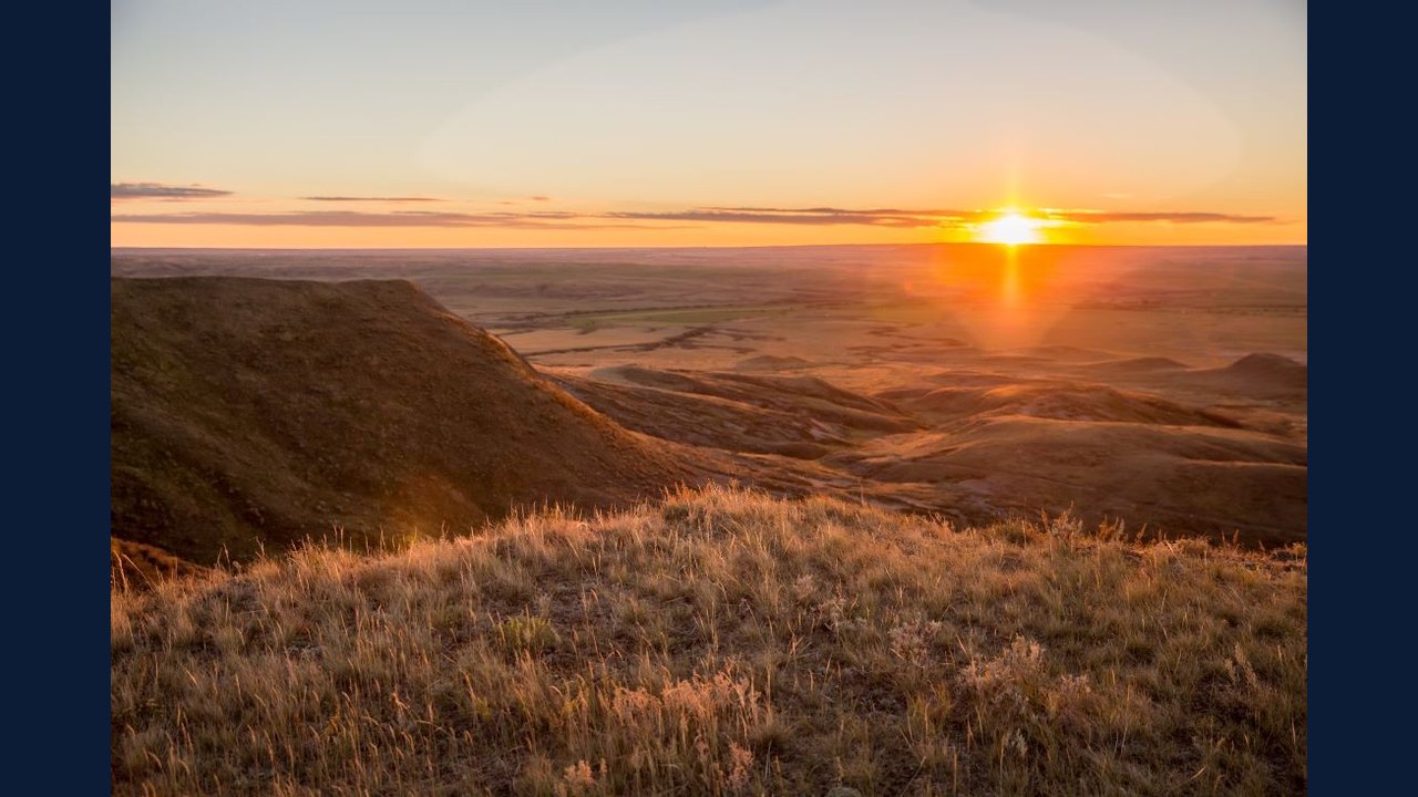 Parks Canada Outlines Multi-Species Recovery Plan for Grasslands National Park
 Court Dismisses Bid to Halt Aerial Brumby Culling in NSW National Park
Trending on GlobeWire Daily
Selected from recent coverage and related topics; not live search rankings.
 Madhya Pradesh Government Plans Revenue Generation from 117-Year-Old Edward Villa in Mumbai Through Leasing
 iPhone 18 Pro Named TechRadar Product of the Year 2026
 Google Project Suncatcher Runs Gemma 4 AI on Orbiting Satellite and Receives First Response
 Gender Disparities in Eye Care Access Across India Examined
 Satellite Images Show Cyclone Arnab Weakening Over India As New System Brews
 Expanding Green and Blue Spaces Crucial for India's Economic and Public Health, Reports Indicate