Geopolitical Realities of the India-Bangladesh Border and Regional Dynamics
· GlobeWire Daily World Desk · Source: navbharattimes.indiatimes.com
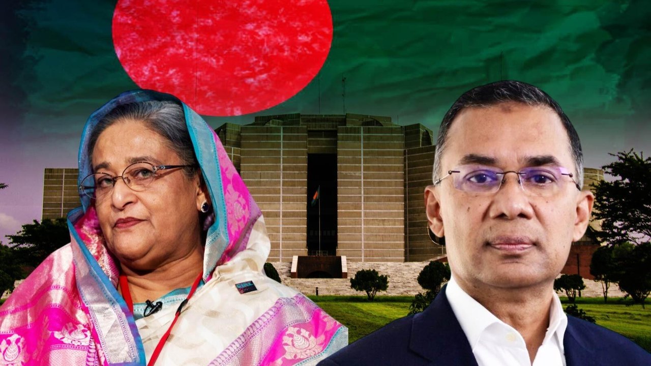
Image: navbharattimes.indiatimes.com — Creative Commons
Overview of India-Bangladesh Relations and Shared History
Bangladesh shares deep historical ties with India, having been part of the country prior to 1947. Following the partition of British India, the region became East Pakistan before achieving independence in 1971 through the Bangladesh Liberation War, in which India played a significant role. Today, the two nations share a 4,096-kilometer land boundary—the fifth-longest land border in the world—which touches the Indian states of West Bengal, Assam, Meghalaya, Tripura, and Mizoram.
Border Security and Geographical Challenges
Large portions of the India-Bangladesh border remain un-fenced due to complex geographical terrain, including hilly regions and numerous rivers that cross the boundary. These physical features make continuous fencing and physical surveillance difficult. To enhance national security, the Indian government has been actively engaged in constructing fences along vulnerable sections to curb unauthorized cross-border movement.
Shifting Political and Regional Dynamics
Political developments in Dhaka have introduced new dynamics to bilateral relations following leadership changes. Outstanding diplomatic discussions include managing the Ganges Water Treaty and addressing the Teesta River project, the latter of which holds strategic significance due to its proximity to India's sensitive Siliguri Corridor, commonly referred to as the Chicken's Neck. Concurrently, external diplomatic and economic influences, notably from China and Pakistan, have seen increased activity in the region, heightening India's strategic focus on its eastern neighbor.
Practical Implications and Reader Verification
Readers monitoring international relations and regional security can analyze several established facts alongside ongoing uncertainties.
Confirmed Facts:
- India and Bangladesh share a 4,096-kilometer land border traversing five Indian states.
- The geographic terrain includes rivers and mountainous areas, complicating border fencing efforts.
- Bilateral discussions involve water-sharing agreements such as the Ganges Water Treaty and the Teesta project.
Unknowns and Variables:
- The timeline and engineering solutions for completing remaining border fencing across challenging terrain.
- Future policy directions regarding pending bilateral water treaties under the current administration in Dhaka.
How to Verify: Readers interested in official updates, diplomatic statements, and verified international news regarding India-Bangladesh relations can consult official reporting and reference the Navbharat Times coverage at [Navbharat Times Bangladesh Section](https://navbharattimes.indiatimes.com/world/bangladesh/articlelist/133400292.cms).
AI-assisted reporting; source claims are attributed and have not been independently verified.
More to read
 Israel’s Election Stalemate: Four Paths Out of the Deadlock
 Israel Faces Coalition Gridlock as Netanyahu's Bloc Loses Majority and Palestinian Parties Make Historic Gains
 Israel Faces Political Deadlock After High-Turnout Election Leaves No Clear Winner
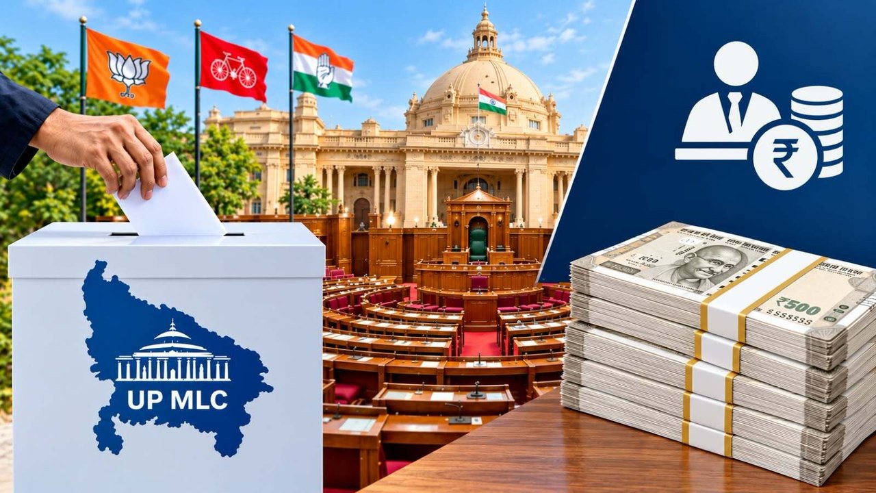 Uttar Pradesh Legislative Council members receive ₹2.66 lakh monthly and hold limited legislative powers, official figures show
Trending on GlobeWire Daily
Selected from recent coverage and related topics; not live search rankings.
 Overview of Military and Protective Services Openings in the Des Moines Area
 Navigating Free Sample Promotions and Trial Offers Across India: What Consumers Should Know
 Exploring the Landscape of Fantasy Cricket Apps and Platforms in India
 NABARD Opens Grade A Officer Recruitment 2025 for 91 Vacancies: What Applicants Need to Know
 Intelligence Bureau Opens Applications for ACIO II Tech Recruitment 2025: What Engineers Need to Know
 Western Railway RRC Announces Apprentice Trainee Recruitment for 2026