NASA-Funded Analysis Supports Virginia Oyster Farm Assessment Following Algae Bloom
· GlobeWire Daily Editorial Desk · Source: science.nasa.gov
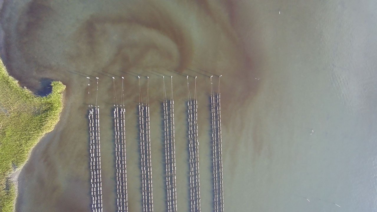
Image: NASA Science · Photo source · Resized and letterboxed to 16:9; no AI generation
Following a harmful algae bloom in the Chesapeake Bay’s Eastern Shore this September, researchers supported by NASA are providing critical data to assist Virginia officials in evaluating damage to local oyster populations. The Virginia Marine Resources Commission is utilizing these insights to map affected areas and understand the extent of impacts on aquaculture.
Research and Methodology
Experts from William & Mary’s Virginia Institute of Marine Science and the Batten School identified a 15-mile-long bloom stretching from Cape Charles to Nassawadox Creek. The investigation includes the following components:
- Satellite Mapping: Analysts utilized imagery from the ESA Copernicus Sentinel-2 mission to identify areas with high concentrations of harmful algae, specifically *Alexandrium monilatum*.
- Environmental Modeling: The Chesapeake Bay Environmental Forecast System was used to reconstruct historical data, including water temperature, salinity, and wind patterns.
Environmental Factors
Preliminary analysis suggests that environmental stressors may have worsened the situation for local marine life:
- Temperature Anomalies: Water temperatures reached 80 degrees Fahrenheit in early September, exceeding the typical ranges recorded between 2018 and 2025.
- Wind Patterns: Initial calm conditions allowed the bloom to persist, while subsequent stronger winds potentially forced the algae-rich water into proximity with established oyster beds.
This initiative is part of a broader project funded by NASA’s Earth Action Water Resources program, which seeks to improve water-quality forecasting. By integrating satellite observations with local shellfish grower data, the program aims to bolster the preparedness of coastal managers for future bloom events. Interested parties can verify specific assessment progress through the Virginia Marine Resources Commission’s public records.
AI-assisted reporting; source claims are attributed and have not been independently verified.
More to read
 NASA Updates Communications to Incorporate 'Super Intelligence' Following Executive Order
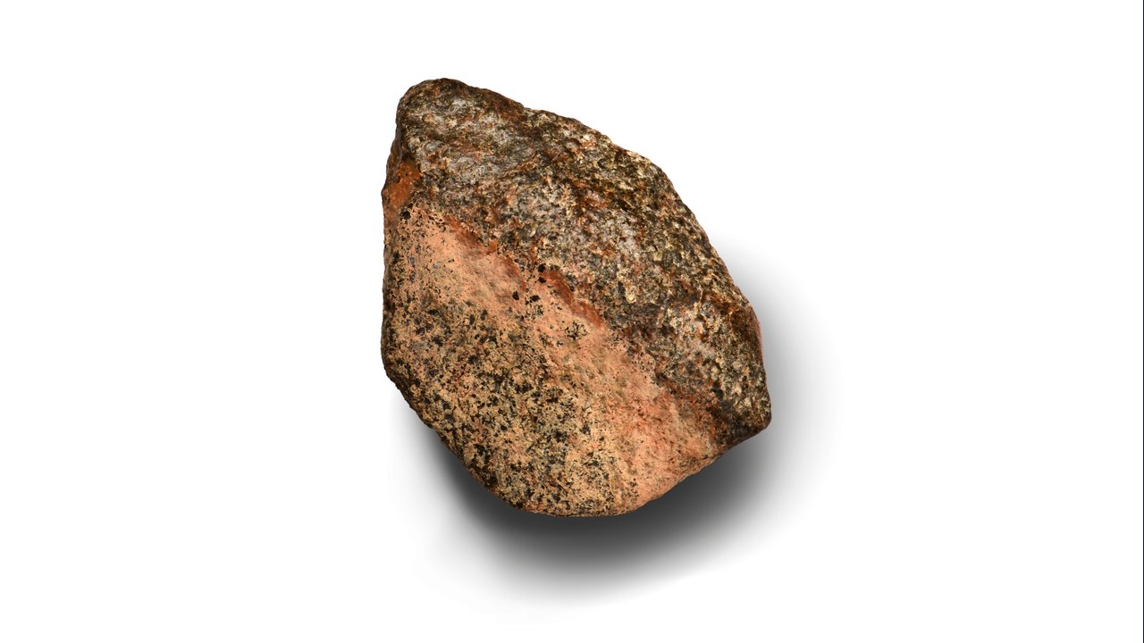 NASA-Funded Study Details Teghaza 001, One of the Oldest Martian Meteorites Found on Earth
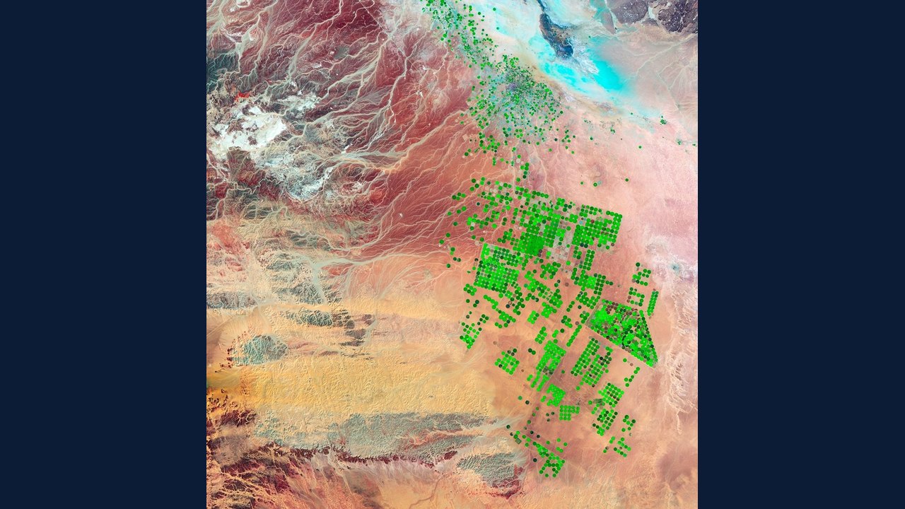 NASA Explores Super Intelligence to Enhance Science Data and Research
 SpaceX Shifts Focus Away From Traditional NASA Contracts Toward AI and Starship, Raising Questions for US Space Policy
Trending on GlobeWire Daily
Selected from recent coverage and related topics; not live search rankings.
 Madhya Pradesh Government Plans Revenue Generation from 117-Year-Old Edward Villa in Mumbai Through Leasing
 iPhone 18 Pro Named TechRadar Product of the Year 2026
 Google Project Suncatcher Runs Gemma 4 AI on Orbiting Satellite and Receives First Response
 Gender Disparities in Eye Care Access Across India Examined
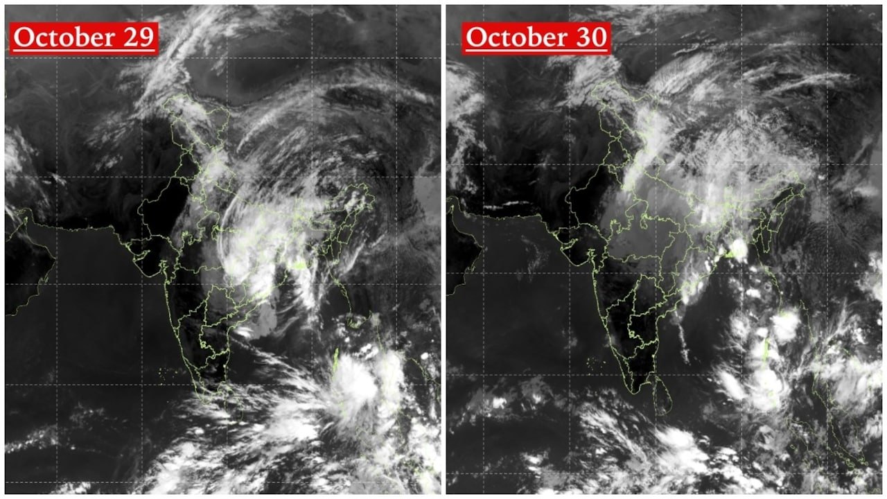 Satellite Images Show Cyclone Arnab Weakening Over India As New System Brews
 Expanding Green and Blue Spaces Crucial for India's Economic and Public Health, Reports Indicate